outback logo

  • DSC_3791.jpg
  • DSC_3819.jpg
  • DSC_3854.jpg
  • DSC_3931.jpg
  • DSC_9229.jpg
  • DSC_9239.jpg
  • DSC_9465.jpg
  • DSC_9482.jpg
  • DSC_9515.jpg

Wagon Wheel - Woodforde Waterhole - Pernatty Station

  • woodforde-waterhole-8796

I found myself at a partly broken dam, a huge construction undertaking for a sheep and cattle station, though still with a pretty fair holding capacity despite the wall being breached to a level well below the spillway level.

Read more ...

Kayak

Kayak on Bega River

Not only is a kayak a great fitness machine but it gets me around the flat water rivers and lakes to enjoy and photograph their unique landscape, near on impossible otherwise.

Quadbike

Hut overlooking Lake Eucumbene

With a cruising speed of around 50k/h on good going, the 4x4 bike and trailer carry photography gear, camp and tucker over considerable distances, allowing camping on site for the best light.

Mountain Bike

Lily and Granddad on mountain bikes

On the mountain bike I travel close enough to the ground and slow enough to see quite a bit that may otherwise be missed. Of course, the bike is mainly for travel on rural roads and tracks.

On Foot

Beach near Point Hicks

With a pack on my back, it's often not necessary to cover a great distance to capture the wilderness landscape. Anything from a few hundred metres to 15km can make a great day out in an isolated environment.

Here is a Google map of my proposed trip route during late May and early June 2011 on Arcoona and Andamooka stations in outback South Australia.


View May 2011 Trip - Arcoona and Andamooka in a larger map

I'm expecting to be out on the bike for about 12 days, so long as I don't run out of tucker or find the rough living too much.

I'll be carrying enough fuel for about 640 kilometres and estimate a distance to travel of around 500 kilometres.

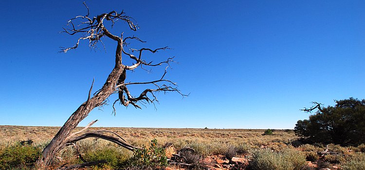
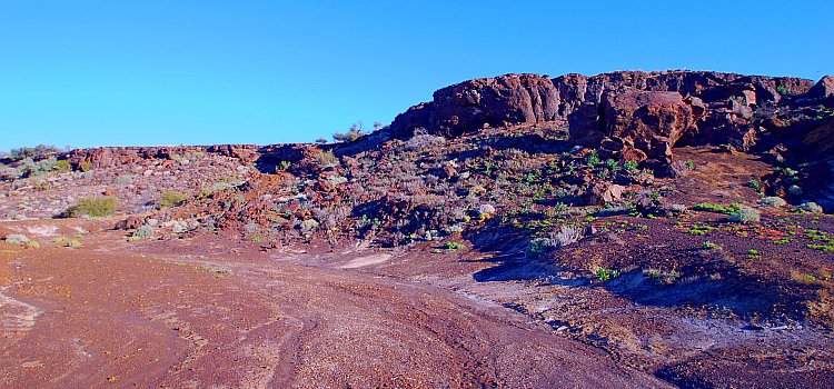
My route takes me on Arcoona and Andamooka stations, from east of Woomera to near Andamooka opal mines and town and out to Lake Torrens in the east. Roxby Downs is not a long way to the north west of my proposed travel.

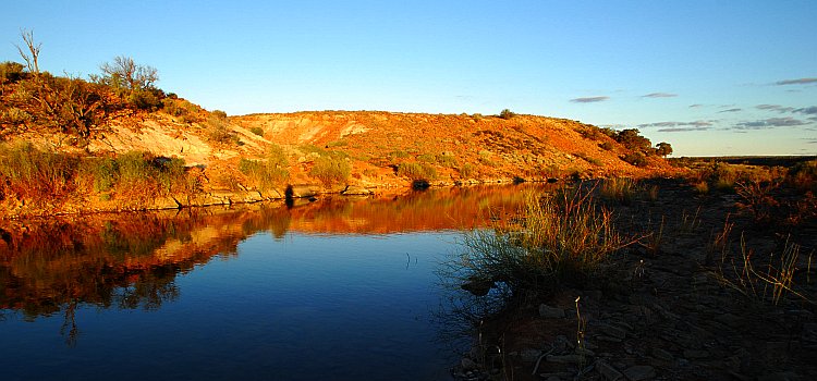
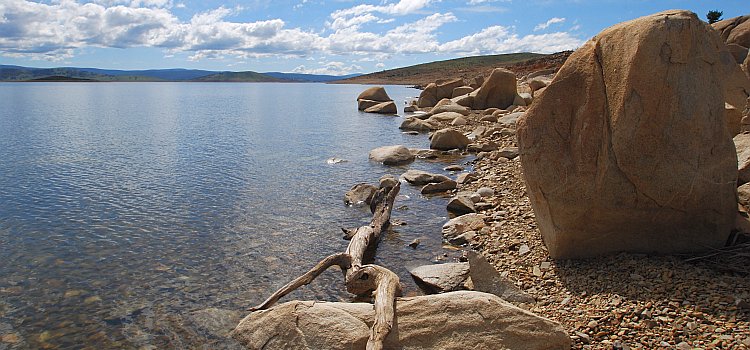
You'll see that I plan to camp for several days by Lake Torrens at Sketching Pile. From the Google satellite images, this appears to be about the deepest part of Lake Torrens and I hope to get some good salt images with salt encrustation on the drift wood, twigs and rocks. Maybe there'll also be large salt crystals on the lake bed, below shallow water.

Share