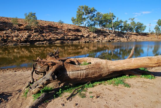
A pleasant ride to Woodforde Waterhole on Parnatty Station took me on a 60km return trip, the route back to camp likely being a bit shorter, about an hour's ride each way. In the days immediately before my arrivel at Pernatty the grader had been over all the station tracks making for easy riding. In fact, my 2wd ute would have handled the tracks I went on, though I' be worried about how the tires would handle the sharp stones encountered in places.

With a bank about 100 metres long and maybe six metres high, Woodforde Waterhole has been quite a construction feat for an outback sheep and cattle station. At some stage, a major rain event has exceeded the capacity of the overflow and the bank has breached to about two thirds of it's original height, reducing the dam's capacity considerably.

A line of dead redgum trees indicates the high water level of the original Woodforde Waterhole, a camping site of the original inhabitants of the area.
The higher water level caused by the new dam would have drowned these trees over time, with the extended inundation.

New river redgums have sprung up marking the various high water levels. The older trees at the level before the dam was breached and a couple more rows of marking subsequent significant rain events.
As I arrived on the bike, half a dozen small ducks flew over and a dozen or so were on the water.
Last time I was here, three years ago, the waterhole was dry, but this trip it was filled to a little below the level of the original high water line.

